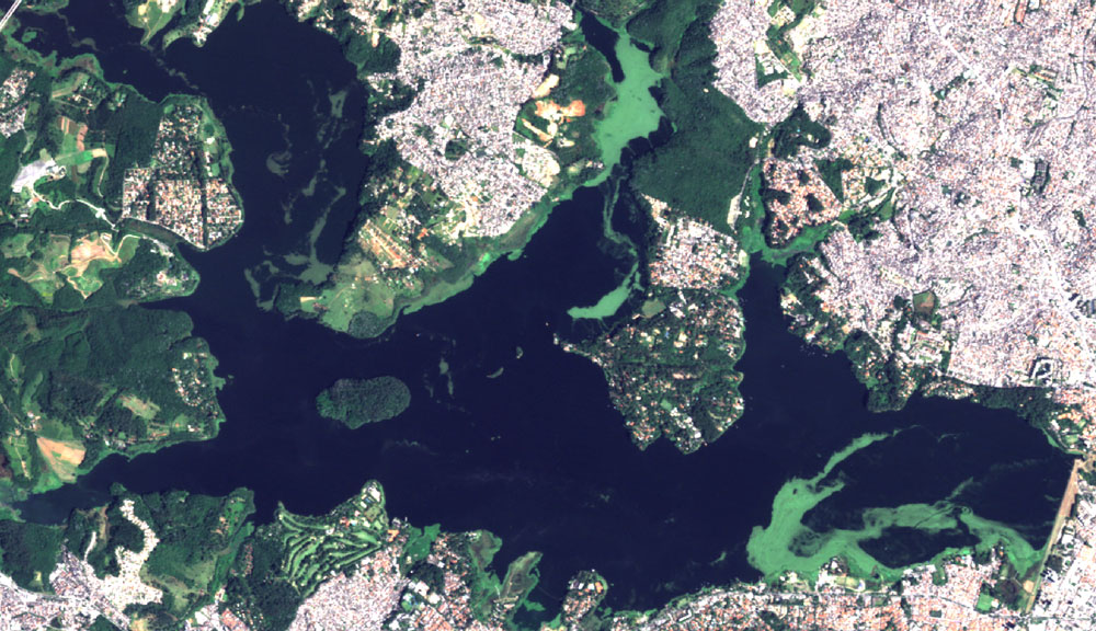
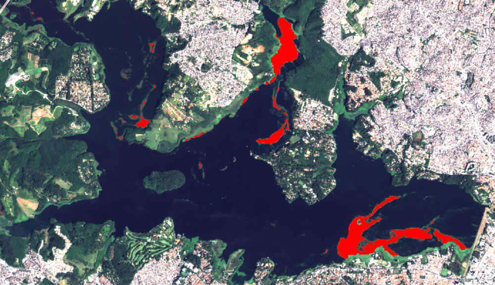
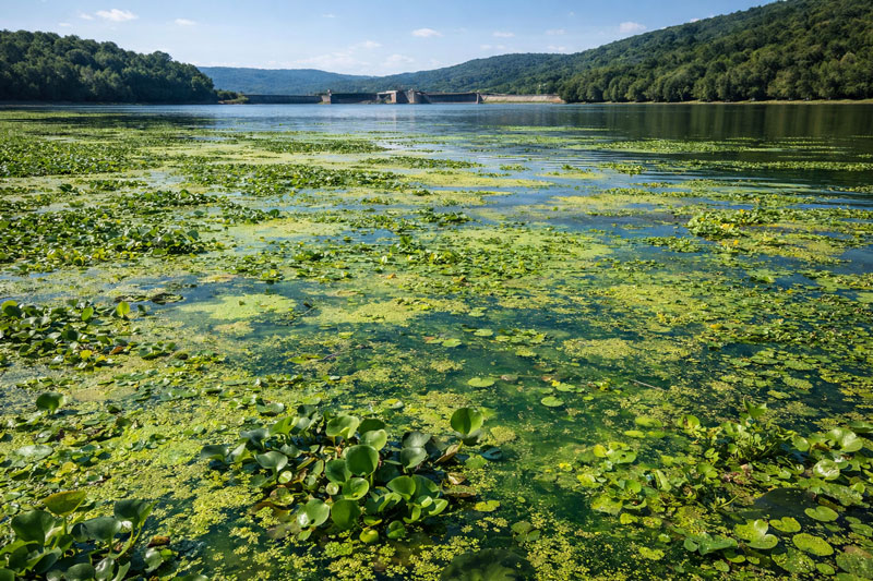
Using satellite imagery, the aquatic macrophyte monitoring system automatically monitors the entire reservoir, enabling historical and near-real-time analyses of the distribution and growth of these plants.
This monitoring system also provides a holistic view of the aquatic ecosystem by integrating climate and water quality data, enabling more efficient, data-driven management.
IDEAL FOR: water utilities, environmental agencies, and operators of dams and hydroelectric power plants.