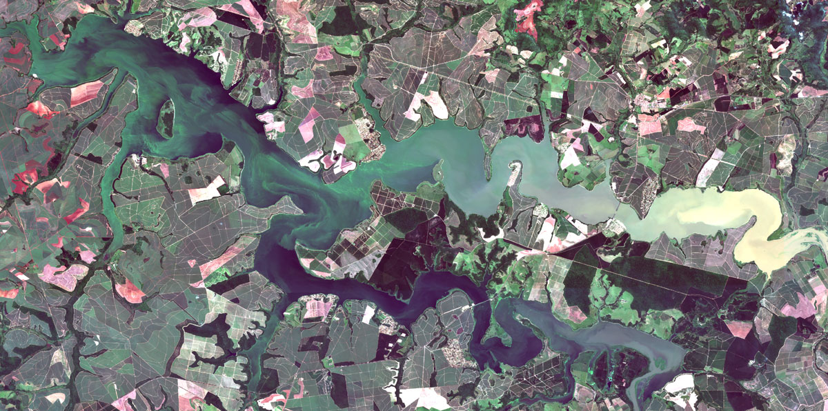
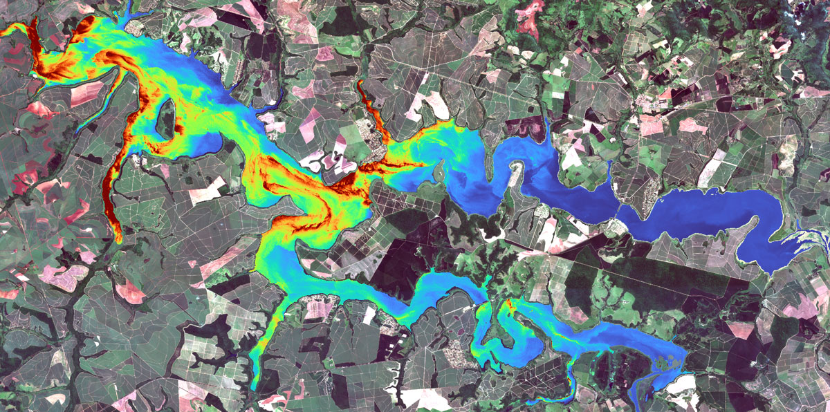
Through proprietary algorithms, calibrations and validations based on in situ data, water quality parameters are estimated with high accuracy.
Information is automatically processed and made available on an interactive platform that allows spatial and temporal visualization, trend analysis and generation of personalized alerts.
This approach makes it possible to reduce field costs, expand the frequency of monitoring and provide reliable technical subsidies for the sustainable management of water resources.
Monitor:
Turbidity, Total Suspended Solids (TSS), Dissolved Organic Matter (CDOM), Secchi Disc, Trophic State, Temperature, Chlorophyll-a, Cyanobacterium and Phycocyanin, among other indicators.
Continuous and large-scale monitoring;
Frequent updates with multitemporal data;
Technical reports and interactive dashboards for visualization and analysis.