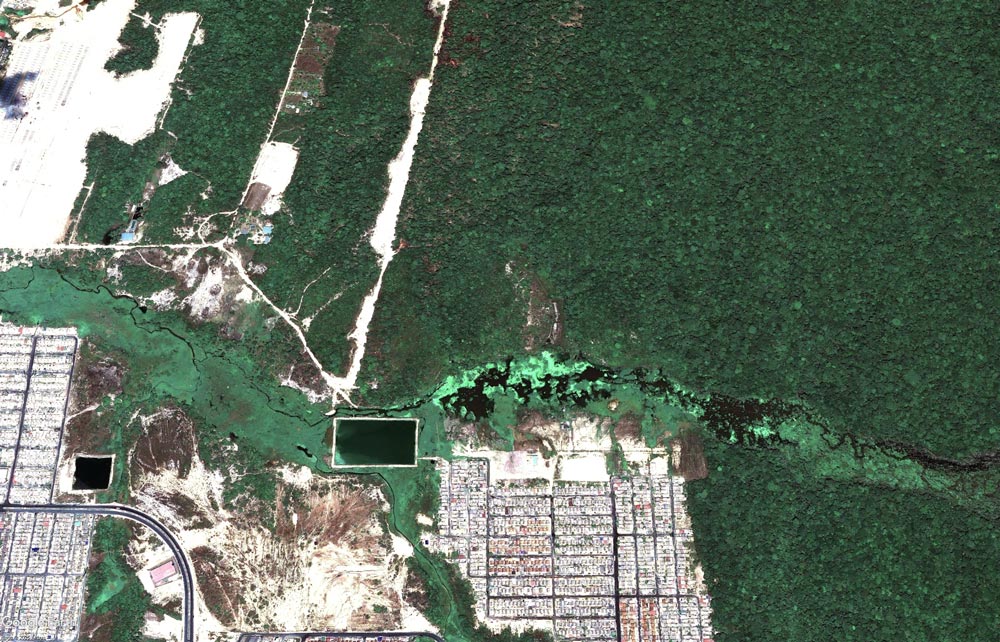
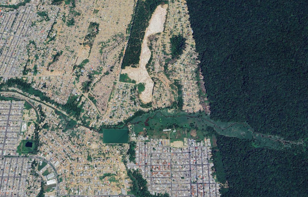
ORBTY’s technology maps changes in land use and cover, urban advancement, vegetation suppression and morphological modifications in rivers and coastal areas through multitemporal analysis of optical and high-resolution SAR satellite images.
It also performs mappings and monitoring with drones, providing accurate data for environmental, topographic and infrastructure applications. Among the applications, the inspection of protected areas and water resources, recovery of degraded areas and detailed land mapping stand out.
IDEAL FOR: sanitation concessionaires, environmental agencies, environmental secretariats, city halls, dam and hydroelectric operators, watershed managers.


Monitor with GEMAP (Geospatial Mapping of Aquatic Parameters)
Use our platform to transform orbital data into strategic decisions for your water management.
Try the GEMAP platform for 15 days at no cost.
Fill out the form and request access.
Monitoring with satellites from European and American stations;
Spatial resolution of 10 to 300 meters;
Weekly Monitoring.
Monitoring with commercial satellites;
Spatial resolution from 1 to 5 meters;
Monitoring that can reach the diary.